Digital Education Work And Urban Resilience
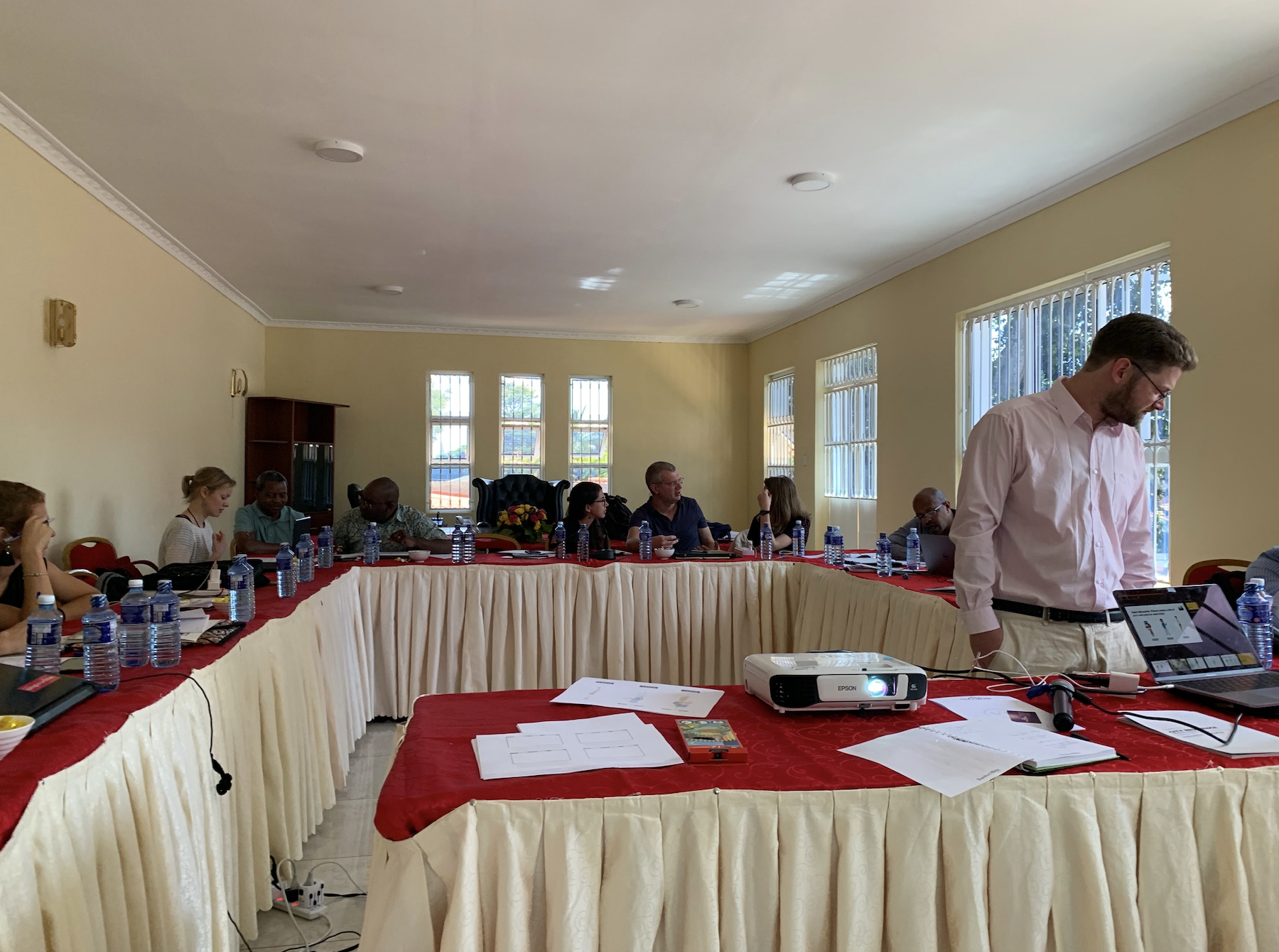
I am typing this out from Jomo Kenyatta Airport in Nairobi reflecting on the past week spent with the good people of UN Habitat, specifically those associated with the CityRAP tool. The CityRAP tool trains city managers and municipal technicians in small to intermediate sized cities in sub-Saharan Africa (SSA) to understand and plan actions aimed at reducing risk and building resilience through the elaboration of a City Resilience Action Plan.
The main principle of the CityRAP is ownership by the local government. It is designed as an enabling rather than prescriptive tool. It is understood as a set of training, exercises and activities directed at municipalities that express demand in kick-starting the resilience action planning process.
So in essence it is a tool that is designed to reach the people that most need it, the local municipality actors, rather than training up what are essentially intermediaries in this process (ie, other NGOs or high level government officials). It teaches them about the core concepts of urban resilience (not disaster response, but rather a proactive resilience) and does so for a demographic that may or may not be particularly fluent in the specifics of urban planning, climate change, and other stresses (not shocks: I learned the difference in this workshop) that may affect the capacity of a municipality to withstand natural hazards.
The news from Berea, Mozambique which was funneling in during the workshop was evidence of the need for tools such as CityRAP.
Our job is to bring a particular part of that tool online as a short course. One that would set up students to engage with the remaining parts of the tool. So we would take Phase 1 (of 4), design it for online education, remain incredibly mindful of the bandwidth limitations and the demographic itself, and pilot it in sub-Saharan Africa sometime this year. We have been working and reworking the face to face training through personas and storyboards, trying to find the right balance of engaging and formative. We will be building a lot of what we do off The Change, the video below which attempts to raise awareness on adaptation to climate change at the community level and sustainable human settlements. Notice how it does this without words.
"THE CHANGE" is an educational video, conceived for children, to raise awareness on adaptation to climate change at the community level and sustainable human settlements. It has been produced in the framework of the United Nations Joint Programme on Environmental Main-streaming and Adaptation to Climate Change in Mozambique. This is a UNDP and UN-HABITAT joint production, funded by the MDG Achievement Fund (Government of Spain - UNDP) and the European Commission Humanitarian Aid (ECHO). AWARDS Prix des enfants “LES TEMPS PRESSE”, Paris – France (2017) Children’s Audience Award “SHORTVISIONS”, Ningbo – China (2014) Best Animation Ecological Film MALESCORTO International Film Festival – Italy (2012) Best Environmental Film VISIONI ITALIANE – Italy (2012) Winner of Youth Section, Ecozine Festival Internacional De Cine Y Medio Ambiente – Spain (2012) 1st Prize FESTIVAL INTERNACIONAL CINE EN EL CAMPO – Mexico (2012) Best short movie CLOROFILLA FILM FESTIVAL – Italy (2012) Special Mention, TERRA DI TUTTI I FILM FESTIVAL – Italy (2012) Best Animation Film and Best Ecological Film FESTIVALPESIO – Italy (2012)
A particular design challenge here is context collapse, in the sense that the face to face CityRAP trainings have enjoyed some semblance of geographical familiarity so when they come to the participatory mapping they share a common geographical vernacular. Participatory mapping is critical to the CityRAP process where everyone gets involved and maps particular features of the urban environment both in terms of urban resilience (flood areas, etc.) and also for sustainable growth. A large percentage of urban residents in SSA cities are in informal settlements, which are particularly problematic for sustainable development. These are clear on high-resolution satellite imagery and participatory mapping lets everyone identify these immediately. It is a bit more challenging in online environments, particularly in low-bandwidth contexts. We are exploring using H5P as much as possible. So potentially things like this which is already skirting the upper edges of accessibility.
So we have a distinct challenge on our hands and an important one. And we are going to figure it out as we go and learn from this spirited group.

